
Tucson Leisure Cycling Routes
- Posted on
- By Fair Wheel
- Posted in Rides and Routes
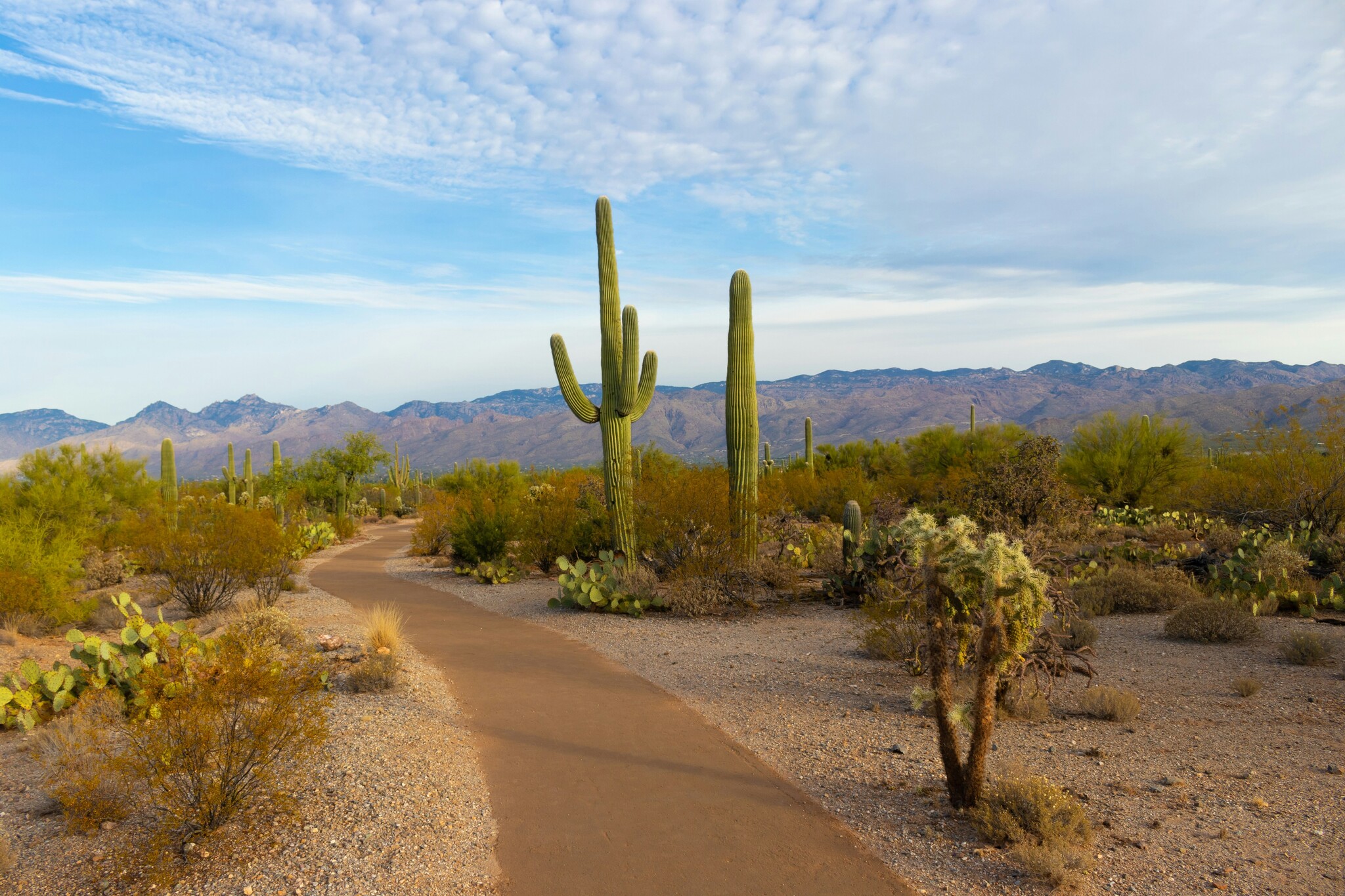
Explore Tucson at a relaxed pace with Fair Wheel Bikes. This guide covers the Chuck Huckelberry Loop, Tucson bike lanes and shared-use paths, University and downtown riding, Mercado San Agustín, Cañada del Oro and Catalina State Park, with interactive Tucson and ADOT bicycle-planning resources, leisure-route guidance and rental-bike options.
Tucson Leisure Cycling, The Loop & Bike Paths
Not every ride in Tucson needs to involve a fast group, a major climb or an all-day adventure. Some days we just want to spin the legs, explore the city, stop for coffee or spend a few hours enjoying the desert without worrying about keeping up with a group.
Tucson is particularly good for this kind of riding. The Chuck Huckelberry Loop, neighborhood bikeways, protected bicycle lanes and quieter street connections make it possible to ride between the University of Arizona, downtown Tucson, Mercado San Agustín, parks, coffee shops and long stretches of desert scenery without spending the entire day in traffic.
For our current recreational route, maps and additional Tucson leisure-riding information, visit our Leisure Routes & The Loop page.
University, Downtown & The Loop
One of our favorite relaxed rides connects the University of Arizona area with downtown Tucson, Mercado San Agustín and the northwest side of The Loop. It is a good choice when we want an easier day, when someone is new to riding in Tucson or when a visitor wants to actually see some of the city rather than simply ride through it.
Mercado San Agustín makes a natural stop along the way, with food, coffee and plenty of room to take a break before continuing. From there, The Loop gives us an easy way to add mileage while getting away from most automobile traffic.
The route uses a combination of shared-use paths, neighborhood connections and streets with established bicycle facilities, making it particularly well suited to hybrid bikes, e-bikes and recreational riders.
View our complete Tucson Leisure Routes page →
Explore the Chuck Huckelberry Loop
The Chuck Huckelberry Loop is one of Tucson's best resources for riders who want to spend more time enjoying the ride and less time dealing with automobile traffic. The connected network of paved shared-use paths follows Tucson-area river parks and greenways and provides access to neighborhoods, parks, trailheads, restaurants and other parts of the city.
You do not need to ride the entire network. In fact, for most recreational riders we recommend choosing a section based on where you are staying, how much time you have and what you want to see. Short out-and-back rides work just as well as longer Loop days.
The Loop Interactive Map
Use Pima County's interactive map to explore Loop connections, access points, crossings and nearby destinations.
Tucson Bike Maps
Use Tucson's bicycle-planning resources to find bike lanes, neighborhood bikeways, shared-use paths and lower-stress street connections.
Arizona Bicycle Route Planning
For riders exploring beyond the immediate Tucson path network, the Arizona Department of Transportation also maintains bicycle-planning resources for the state. ADOT's Cycle Arizona Bicycle User Map includes information such as highway shoulder widths, grades and traffic volumes, along with connections to local bicycle resources.
This is more useful for planning longer rides or understanding connections outside Tucson than it is for choosing individual neighborhood streets, so we use it alongside the Tucson and Loop maps rather than instead of them.
View the ADOT Cycle Arizona Bicycle User Map →
Art Along The Loop
The Loop is more than transportation infrastructure. Pima County describes the system as an open-air gallery, with sculptures, mosaics, murals and other public-art installations along the river parks and nearby paths.
If we are riding casually rather than chasing mileage, following the art installations gives the ride another purpose and is a good way to explore sections of Tucson that visitors might otherwise miss.
Our Favorite Leisure Section: Cañada del Oro
When someone asks us which part of The Loop to ride purely for the experience, the Cañada del Oro section is usually near the top of the list. The northwest side of the system opens into excellent Catalina Mountain views and gives riders plenty of options for an easy out-and-back without requiring a complicated route.
Cañada del Oro Riverfront Park is a practical place to begin. From there we like heading north toward Catalina State Park. Riders who continue into the state park get an even better look at the Catalina Mountains, although entering the park adds some climbing and requires the appropriate park entrance fee.
Catalina State Park Information →
A Few Things to Remember
Tucson's leisure routes may be easier than Mount Lemmon or one of our longer road rides, but the desert still deserves respect. Direct sun, dry air and warm temperatures can make an easy ride more demanding than expected.
Carry water, use sun protection and save your route before leaving. Even on The Loop, intersections and river crossings can be confusing the first time through.
Keep right on shared paths, announce passes, slow down around pedestrians and dogs, and carry basic flat-repair equipment. Tucson's thorns do not care whether you're racing or sightseeing.
The Right Bike for a Relaxed Tucson Ride
For most leisure riding, we prefer a comfortable bike that lets us look around rather than stay tucked into a racing position.
Hybrid Bikes
Our first choice for casual sightseeing, city riding and comfortable miles on The Loop.
E-Bikes
A good option for exploring farther, managing headwinds or keeping riders with different fitness levels together.
Road Bikes
Better for experienced riders who want to cover more of Tucson or combine The Loop with longer road mileage.
Plan a Leisure Ride in Tucson
If you're visiting Tucson and want a relaxed day on the bike, start with our Leisure Routes & The Loop page. We keep the route information there so this article can remain a broader guide to Tucson's bike paths, leisure riding and route-planning resources.